Death Valley National Park, California

Death Valley National Park – is located around 275 miles east of Los Angeles via CA19N (150 miles west of Las Vegas via 190W) and is considered the hottest place in Western Hemisphere. The highest temperature recorded ever was 57 degree Celsius. In 2021 the highest temperature recorded was 54 Degrees C. It’s about covers about 3 million acres. No vegetation or animal life survives there. The road which leads to the valley is also called the loneliest road in US , without any people or shops or vehicles for hundreds of miles. The depth and shape of Death Valley strongly influence its climate. The valley is a long, narrow basin that descends below sea level and is walled by high, steep mountain ranges. The clear, dry air and sparse plant cover allow sunlight to heat the desert surface. Death Valley is a land of extremes. With elevations that range below 200 feet sea level in view of snow-capped peaks cracking 12,000 feet, you’ll often find all four seasons within Death Valley National Park, no matter what time of year you visit. When visiting Death Valley, remember to bring water, water, and more water, packing more than you think you’ll need. With temperatures soaring well above the 100 degree mark, heat-related injury and illness is a real possibility.

Badwater Basin – is a lake basin in Death Valley National Park, Death Valley noted as the lowest point in North America and the United States, with a depth of 282 ft below sea level. The salt flats here cover nearly 200 square miles (518 square km), and are composed mostly of sodium chloride (table salt), along with calcite, gypsum, and borax. Tens of thousands of years ago an inland lake covered the area. Over time, the lake evaporated leaving highly concentrated salt deposits. Today, the salt crystals form unique, geometric polygons that spread endlessly across the basin. This creates a picturesque backdrop that you won’t find anywhere else in the world.


Zabriskie Point – is one of the spectacular vista points in the Valley. It provides an elevated point to marvel at the badlands below. These yellow and brown stripped hills have been shaped by the powerful force of water, and even during dry times, the path carved by this water is unmistakable. Gazing beyond the badlands, views of the salt flats covering the floor of Death Valley are visible in the distance

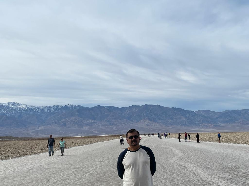
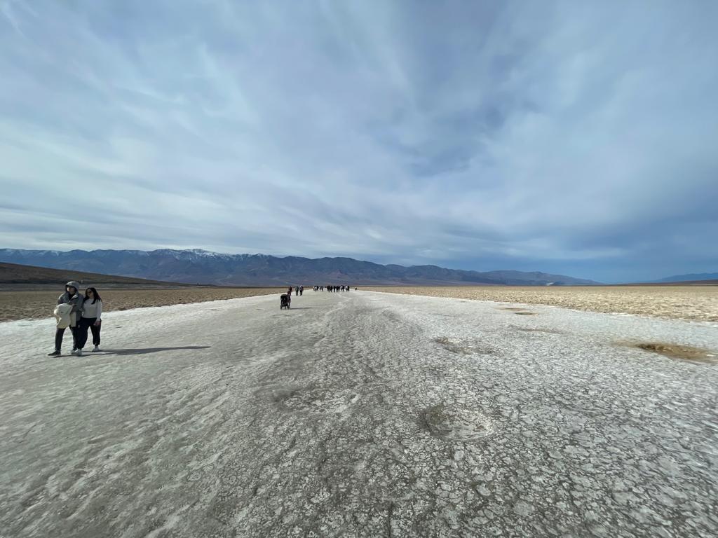
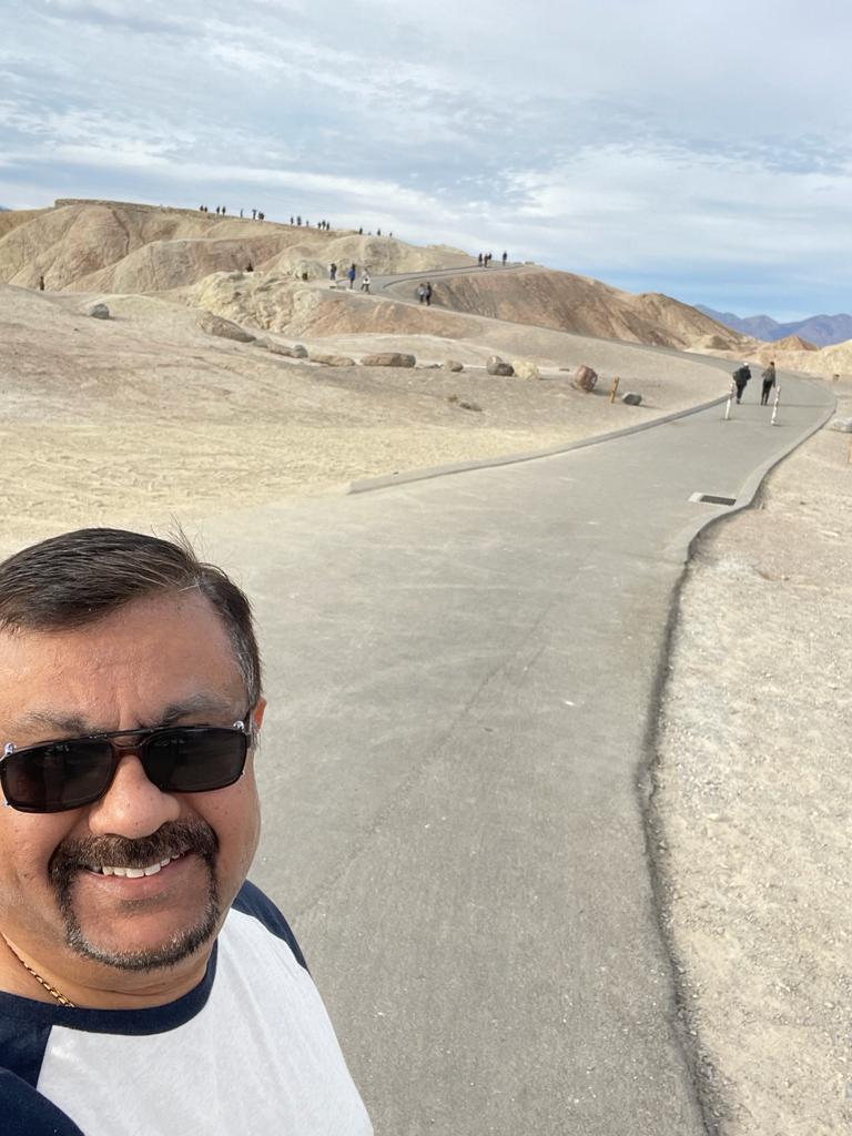
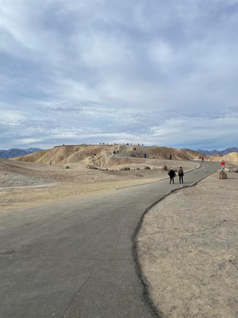
Dante’s View – is a viewpoint terrace at 1,669 m height, on the north side of Coffin Peak, along the crest of the Black Mountains, overlooking Death Valley.  Below Dante’s View is Badwater Basin, the lowest point in North America. Across the valley rises Telescope Peak, the highest in the park. Under the morning light, the views are breathtaking in every direction. It feels like cheating to be able to drive right up to such amazing views. A path follows the ridgeline south about 1,000 feet to an alternative viewpoint, but rather better views can be had from the top of Dante’s Peak, half a mile north. The lesser used trail climbs rocky slopes gaining about 300 feet in elevation, past an intermediate ridge and on to the summit, from where more of the northern valley can be seen, as well as a large expanse of ridges and valleys in the adjacent mountains.

Mesquite Sand Dunes – are created by millions of years of erosion, winds and entrapping mountains. It is a popular spot of sand surfing.